
As climate change intensifies, German cities are experiencing hotter summers more frequently, posing serious challenges to urban living. Densely built-up areas with limited vegetation are particularly vulnerable to prolonged heatwaves. While planting trees is a known strategy to cool cities, young trees often struggle to survive without sufficient water during extended dry spells, limiting their ability to provide relief from rising temperatures. In response, innovative satellite data applications are emerging to help cities better manage and expand their green spaces, enhancing urban cooling and resilience.
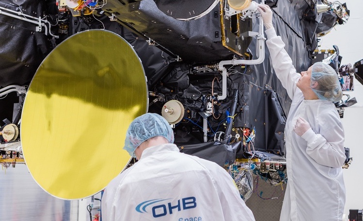
Two companies from the OHB Group, OHB Digital Services GmbH and OHB Digital Connect GmbH, are spearheading a pioneering initiative called the Urban View Demonstrator project. Commissioned by the European Space Agency (ESA), this project leverages Earth observation (EO) data to develop advanced tools for detecting urban heat islands and monitoring the health of urban trees and green spaces. This initiative aligns with Europe’s broader commitment to sustainable urban development and climate adaptation strategies.
Beatrice Barresi, Senior Sustainable Applications Officer at ESA, expressed optimism about the project’s potential: “We are pleased with the promising results of the Urban Green View feasibility study and look forward to the implementation of the project to help cities overcome the challenges of sustainable urban development”.
OHB Digital Services GmbH leads the Urban View Demonstrator, focusing on monitoring urban green spaces, while OHB Digital Connect GmbH concentrates on mapping urban heat islands. The project utilizes a combination of data sources, including images from commercial and Copernicus satellites, aerial photographs, and in-situ ground measurements. This multi-source approach enables a comprehensive understanding of urban microclimates and vegetation health.
Dr. Ingo Schoolmann, Project Manager at OHB Digital Services, highlights the significance of these developments: “With the Urban View Demonstrator project, we are taking the next important step towards commercial downstream services for urban areas.” His colleague, Daro Krummrich from OHB Digital Connect, adds, “The services we are developing are important building blocks to support cities in making data-driven decisions for the most effective and livable developments”.
A key technological advancement comes from OHB Digital Connect’s development of the RAVEN sensor (Remote Airborne Variable Emissivity and Temperature Sensor), designed specifically to detect urban heat islands with high spatial resolution. Unlike conventional sensors, RAVEN captures long-wave infrared radiation in three spectral bands, allowing it to distinguish temperature variations across diverse urban surfaces more accurately.
This detailed heat mapping helps city planners identify hotspots and evaluate the effectiveness of cooling measures such as tree planting or green roofs. Moreover, repeated measurements enable monitoring of vegetation health and irrigation needs, critical for sustaining urban greenery during heatwaves.
RAVEN has undergone successful initial flight campaigns and is being tested in cooperation with pilot cities including Bremen and Essen, as well as other European cities involved in similar projects. The goal is to develop a compact, autonomous sensor system suitable for deployment on drones, facilitating frequent and flexible data collection.
The cities of Bremen and Essen serve as pilot users for the Urban View Demonstrator project. Both cities already utilize digital twins-virtual models of urban environments-to simulate and plan urban development scenarios. The integration of satellite-based heat and vegetation monitoring services into their digital twins will expand their capabilities, allowing for more precise and timely interventions to mitigate heat stress and enhance green infrastructure.
This integration supports data-driven urban planning by providing city officials with actionable insights into where green spaces are most needed and how existing vegetation is performing under climate stress. Over the two-year project duration, additional pilot cities will be engaged to broaden the application and impact of these tools.
Research confirms that urban green spaces significantly reduce local temperatures, a phenomenon known as the urban cooling effect. However, the efficiency of cooling varies widely depending on factors such as the type of vegetation, landscape configuration, proximity to water bodies, and urban morphology.
Satellite data, such as that from the Landsat program, is instrumental in quantifying this cooling effect by measuring land surface temperatures and vegetation indices. Such data helps cities understand how different green spaces contribute to temperature regulation and guides targeted interventions to maximize cooling benefits.
The Urban View Demonstrator project is part of ESA’s Business Applications and Space Solutions (BASS) ARTES 4.0 program, which aims to translate space technology into practical solutions addressing societal challenges. By harnessing satellite data and advanced sensors, this initiative exemplifies how space technology can support the green transition and sustainable urban futures.
ESA Space Solutions emphasizes its commitment to helping businesses across Europe develop space-enabled applications that improve life on Earth, focusing on digitalization and sustainability.
As cities worldwide grapple with the impacts of climate change, tools like those developed by OHB and ESA offer a promising path to smarter, greener urban environments. By enabling precise monitoring and management of urban heat and vegetation, satellite data is becoming a vital resource in the fight to cool cities and enhance the quality of urban life.
This project illustrates a crucial intersection of space technology, environmental science, and urban planning, demonstrating how innovative data-driven approaches can empower cities to adapt to climate change more effectively. With ongoing development and expanding pilot programs, the Urban View Demonstrator could soon become a standard tool in sustainable urban management across Europe and beyond.