Verghese V Joseph –
The world’s most advanced Earth observation satellite—NISAR, a $1.3 billion collaborative mission between NASA and the Indian Space Research Organisation (ISRO)—has successfully unfurled its massive 12-meter radar antenna in orbit, ushering in a new era for disaster prediction and climate science. Launched from India’s Satish Dhawan Space Centre on July 30, 2025, and entering full deployment mode by August 15, NISAR is being hailed by scientists and officials as a “life-saving mission” and a landmark in U.S.-India space partnership.
An Unprecedented Engineering Feat
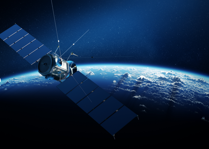
NISAR, short for NASA-ISRO Synthetic Aperture Radar, is the most expensive Earth-imaging satellite ever built, weighing over 2.8 tonnes. Barely over two weeks after its launch, the satellite’s signature component—a 12-meter wide, gold-mesh “bloom” antenna, the largest of its kind deployed by NASA in space—completed its critical deployment milestone.
Dave Gallagher, Director of NASA Jet Propulsion Laboratory, congratulated both the team on this accomplishment, “We celebrate a major win for both the U.S. and India – the successful deployment of NISAR’s antenna reflector. Congrats to the joint NASA Jet Propulsion Laboratory and ISRO – Indian Space Research Organization team on this significant post-launch milestone. We look forward to years of continued partnership and great science to come!”
“It’s the largest reflector NASA has ever deployed in space,” said a NASA mission lead as the milestone was announced over mission control. “We’re very excited to say that we have now deployed our reflector, which puts us in the final configuration to being an Earth science observatory. NISAR is well on its way to being this transformative mission and producing the science that we’ve all been waiting for.”
A Transformative Scientific Partnership
The NISAR mission is historic not just for its cutting-edge radar technology, but also for symbolizing a new benchmark in Indo-American cooperation. For the first time, NASA and ISRO have built major hardware together: India supplying the S-band radar and NASA providing the L-band radar along with the reflector system. Together, these sophisticated sensors enable the satellite to scan nearly the entire planet’s land and ice surfaces every 12 days, capturing centimeter-level changes day or night, in any weather.
“NISAR is not just a satellite; it is India’s scientific handshake with the world,” declared India’s Union Minister for Science and Technology, Dr. Jitendra Singh. “The mission symbolizes the power of partnership between the world’s two largest democracies”.
ISRO Chairman S. Somanath described the unfurling of the antenna as “a proud achievement for India and for international science.” On social media he posted, “The 12m radar antenna reflector of #NISAR is now fully ‘bloom'”—signaling the satellite’s readiness to advance to its imaging and calibration phase.
Precision for the Planet
Designed to be humanity’s ultimate “watchtower in space,” NISAR will monitor critical changes on Earth’s surface, from tracking shifts in glaciers and ice sheets to mapping minute surface deformations caused by earthquakes, volcanoes, and landslides. With both agencies’ radar systems operating in high synergy—one built to peer through dense forest canopies and monitor crops, the other to penetrate ice and soil—the mission aims to deliver vital datasets for disaster managers, scientists, and policymakers everywhere.
Former ISRO chief K. Sivan summarized the impact: “NISAR is a very advanced satellite that can capture even the slightest of movements on Earth’s surface… These observations can help map changes such as volcanic hazards and landslides, and prepare in advance. This is the result of a collaboration that started nearly 10 years ago”.
NASA’s leadership echoed this optimism. “The deployment of NISAR’s antenna is more than just a technical achievement. It is the moment the world gains an unprecedented instrument for safeguarding lives and understanding Earth’s changing climate,” said the project’s U.S. principal investigator.
Setting a Global Benchmark
The precision of NISAR is regarded as best-in-class by both agencies. ISRO’s launch team delivered what current chairman Dr. S. Somanath called “one of the most precise launches that has ever happened in the world.” The satellite was inserted into orbit by India’s GSLV Mk II rocket with a margin of just two to three kilometers—an “unimaginable achievement” for the Indian rocket program.
Technologically, NISAR’s combination of L- and S-band radar enables high-frequency, all-weather, round-the-clock imaging—especially critical for regions prone to extreme weather, for monitoring polar ice, and for agricultural surveillance. “The world has never seen a watch tower like this; disaster managers are hoping all goes well for this hugely important mission,” said Dr. Somanath.
With full science operations scheduled to begin by October 2025, NISAR’s raw data is expected to drive understanding of Earth’s water, ice, forests, croplands, tectonic plates, and disaster-prone areas for years to come. Its revelations will impact fields from food security and climate change to emergency response worldwide.
As the mission team tunes the radar systems and prepares to deliver “life-saving data to communities across the globe,” the world watches: never before have two space powers combined so much technological muscle in service of the planet.
As Dr. Jitendra Singh put it, “NISAR is a global benchmark in Indo-U.S. scientific collaboration. Its ripple effects will be felt by all of humanity.”


