
DUBLIN: The geospatial technologies market for space missions is poised for unprecedented growth and transformation over the next decade, driven by surging investments from government space agencies and private sector pioneers, alongside rapid advancements in artificial intelligence (AI), machine learning (ML), and remote sensing technologies.
According to a comprehensive report by ResearchAndMarkets.com, the global market for geospatial technologies in space missions is expected to evolve significantly between 2025 and 2035, shaping the future of lunar, Martian, and deep-space exploration.
At the heart of this market expansion is the increasing need for high-precision mapping, autonomous navigation, and geospatial intelligence to support complex space missions. These technologies enable detailed planetary exploration, terrain mapping, and spacecraft navigation critical for mission success on the Moon, Mars, and beyond. Satellite-based remote sensing, Light Detection and Ranging (LiDAR), AI-driven mapping, and Geographic Information Systems (GIS) software are key components fueling this growth.
The report highlights that AI and machine learning are revolutionizing geospatial data processing by enabling autonomous decision-making capabilities in spacecraft and rovers. Deep learning models facilitate terrain classification, while AI-powered navigation systems allow spacecraft to operate with minimal human intervention, enhancing mission efficiency and safety. Additionally, digital twin technology is increasingly used for planetary simulations and terrain modeling, providing mission planners with virtual replicas of extraterrestrial surfaces to optimize exploration strategies.
The market’s rapid evolution is underpinned by growing investments from major space agencies such as NASA, the European Space Agency (ESA), and the Indian Space Research Organisation (ISRO), as well as private companies including SpaceX, Blue Origin, Airbus, Lockheed Martin, and Harris Corporation. These entities are forging collaborations that accelerate innovation in high-resolution imaging, autonomous navigation, and real-time geospatial analytics.
North America is expected to lead the market, driven by NASA’s Artemis program aimed at lunar exploration and Mars missions, alongside substantial private sector investments. The United States hosts a robust ecosystem of aerospace firms and geospatial analytics companies, making it a global hub for space-related geospatial technology innovation. The U.S. Space Force and Department of Defense are also investing heavily in geospatial intelligence for space-based national security applications.
Europe follows closely, with ESA spearheading lunar and Martian exploration efforts and maintaining strong partnerships with NASA and private firms. Countries such as Germany, France, and the United Kingdom are advancing remote sensing, planetary GIS applications, and space-based LiDAR technologies.
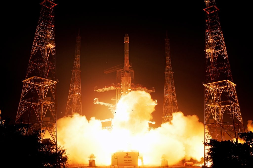
Asia-Pacific is a rapidly growing market, with China, Japan, and India increasing their presence in lunar and Mars exploration. China’s Chang’e and Tianwen missions, Japan’s JAXA-led lunar projects, and India’s Chandrayaan and Gaganyaan missions are driving demand for high-precision geospatial solutions in planetary exploration. The region is also witnessing government-led initiatives in geospatial intelligence for space-based navigation and satellite communication.
The report segments the market by application and technology, revealing key trends:
Lunar Exploration: Leading the demand for geospatial mapping, 3D terrain modeling, and AI-driven navigation to support lunar base establishment and resource prospecting.
Mars Exploration: Increasing investments in Martian terrain mapping, rover path planning, and subsurface imaging technologies.
Other Space Missions: Including asteroid exploration, interplanetary mission planning, and emerging space tourism applications.
From a technology perspective:
Satellite-Based Remote Sensing: Remains the cornerstone for planetary exploration, Earth observation, and real-time space monitoring.
LiDAR and Radar Imaging Systems: Essential for subsurface exploration, terrain mapping, and hazard detection.
Geospatial Data Processing Technologies: Incorporate AI-driven GIS analytics, 3D modeling, and deep learning algorithms for terrain classification and autonomous navigation.
Despite the promising outlook, the market faces significant challenges. Harsh space environments, characterized by extreme temperatures and radiation exposure, complicate high-resolution geospatial imaging and data accuracy. Ensuring real-time, error-minimized data processing under these conditions remains a technological hurdle.
Moreover, integrating diverse data sources from multiple geospatial technologies demands sophisticated AI-driven analytics and data fusion techniques. Overcoming these barriers is critical to achieving reliable and comprehensive mapping essential for mission planning and execution.
Looking ahead, the integration of AI and ML in geospatial data processing will deepen, enabling more autonomous spacecraft and rover operations. Quantum computing is anticipated to play a transformative role in analyzing vast geospatial datasets, enhancing mission planning and decision-making capabilities.
Emerging technologies such as augmented reality (AR) may be incorporated into mission planning, aiding terrain mapping, landing site selection, and exploration route planning. Geospatial intelligence will also be pivotal in habitat identification for extraterrestrial settlements and managing space debris, supporting the sustainability of long-term space missions.
The expanding use of geospatial intelligence in space missions brings regulatory and compliance challenges. International space law and treaties govern terrain mapping and exploration activities, requiring adherence to data privacy, security, and cybersecurity standards. Protecting sensitive geospatial data from cyber threats is paramount as space missions increasingly rely on digital infrastructures.
Case Studies: NASA and ESA Leading the Way
NASA’s lunar and Mars mission planning exemplifies the strategic use of geospatial intelligence. The Artemis program utilizes high-resolution planetary mapping and AI-driven navigation to support lunar base establishment and resource prospecting. Similarly, ESA leverages geospatial technologies for its Moon and Mars missions, enhancing terrain analysis and autonomous rover operations.
The geospatial technologies market for space missions is entering a dynamic phase marked by technological breakthroughs and intensified collaboration between public and private sectors. With rising investments, AI-driven innovations, and expanding applications from lunar bases to Mars colonization, geospatial intelligence will be indispensable for the next generation of space exploration.
As governments and commercial players continue to push the boundaries of what is possible in space, the integration of advanced geospatial technologies will ensure safer, more efficient, and more autonomous missions, heralding a new era in humanity’s quest to explore and inhabit the cosmos.